Yonda provide high resolution Geo-located photographs very competitively. Each image is geo-located by default so will be placed accurately on any mapping system - Google earth for example, so you are never left wondering what you are looking at with our images.
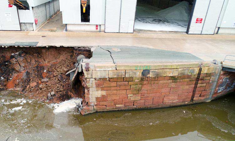
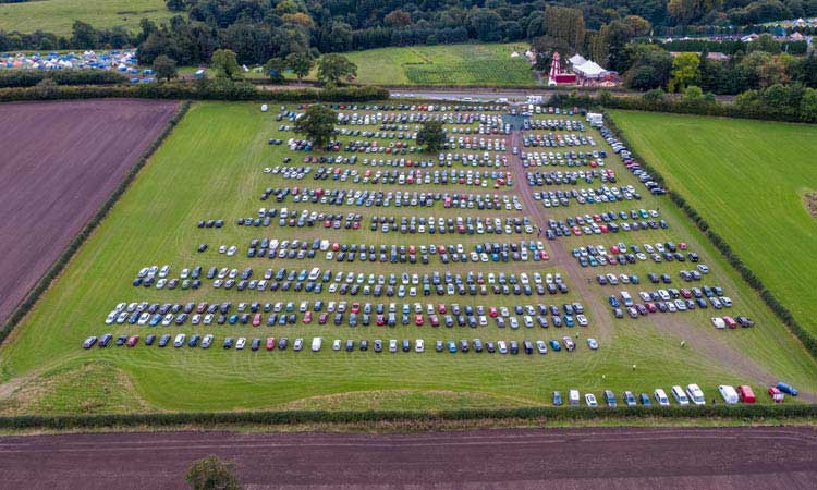
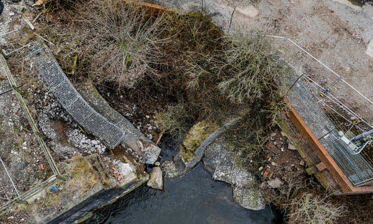
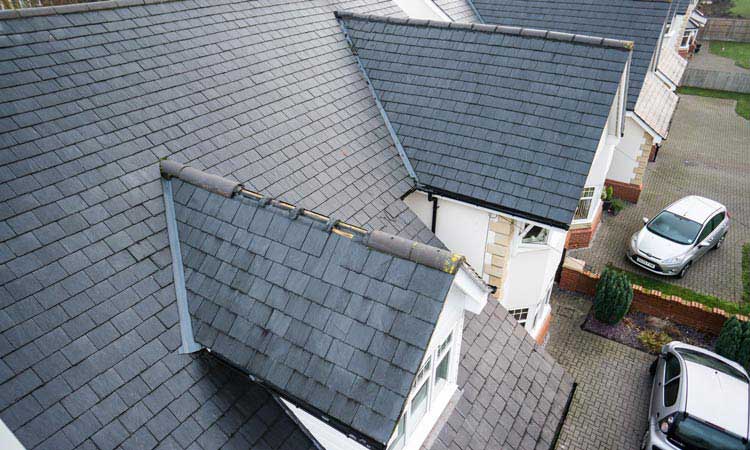
Still images, although the simplest thing we do are still extremely useful, especially when shot from the air. The process is cheap, flexible and repeatable so things like degradation over time can be assessed with this technique.
As well as still photography, yonda can provide Video survey in resolutions up to 5.2K. Using such high resolution means that every frame of video is comparable to the quality of a still image. This is especially useful if you aren't sure what you need to capture and want the ability to go back in time to check the condition of a specific item in detail over a large area.
This is an interactive Model:- Click + Drag to rotate, Scroll to zoom
Yonda can provide two types of 3D Models:-
Photogrammetry
a 3D model constructed from a series of specially shot, geo-located conventional photographs, as in this example,
LIDAR
basically RADAR with Lasers instead of radio waves.
Photogrammetry is low cost, provides colour data and is moderately accurate, accuracy can be improved with tie points. LIDAR is very accurate, expensive and provides point cloud data sets, usually with no or artificial colour (e.g. heights)
Typical Uses
Building and Structure modelling, erosion, damage assessment, historical, archaeological, building, property development